Michelin road maps were created following the advent of the motor car. The idea was to encourage motorists to be more mobile and thereby wear out their tyres more quickly! From 1907 onwards, the year the first road maps were published, teams of “travel documenters” were sent out to all the roads in France, and then in Europe, to inventory, measure and classify them… and to report “roads that are noteworthy for their pleasure, their beauty and their originality”. This is how the Scenic Routes, roads marked with a green border, came to be included in the maps. These invitations to linger are still part of the cultural heritage of French and European motorists.
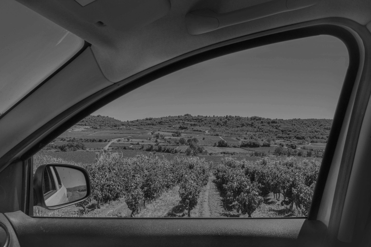
At a time when GPS only offers travellers the fastest or cheapest routes, Alain Willaume wanted to explore and link all 14 green routes shown on his map n°339 covering the area of Montpellier 2028. In this geo-poetic work, he went to explore these suggested scenic views and the French people who live there, prompting a fascinating contrast between the traditional notion of the picturesque and the more complex and hybrid notion of modernity. He asks the question: do ‘green roads’ still mean the same thing and what do we see on them today?
Road map modified by Alain Willaume from France Michelin departmental map n°339 / ©Michelin Éditions, 2020, reproduction prohibited without permission.
Routes Vertes by Alain Willaume
Dans le cadre de la résidence du collectif Tendance Floue